What is BiP?
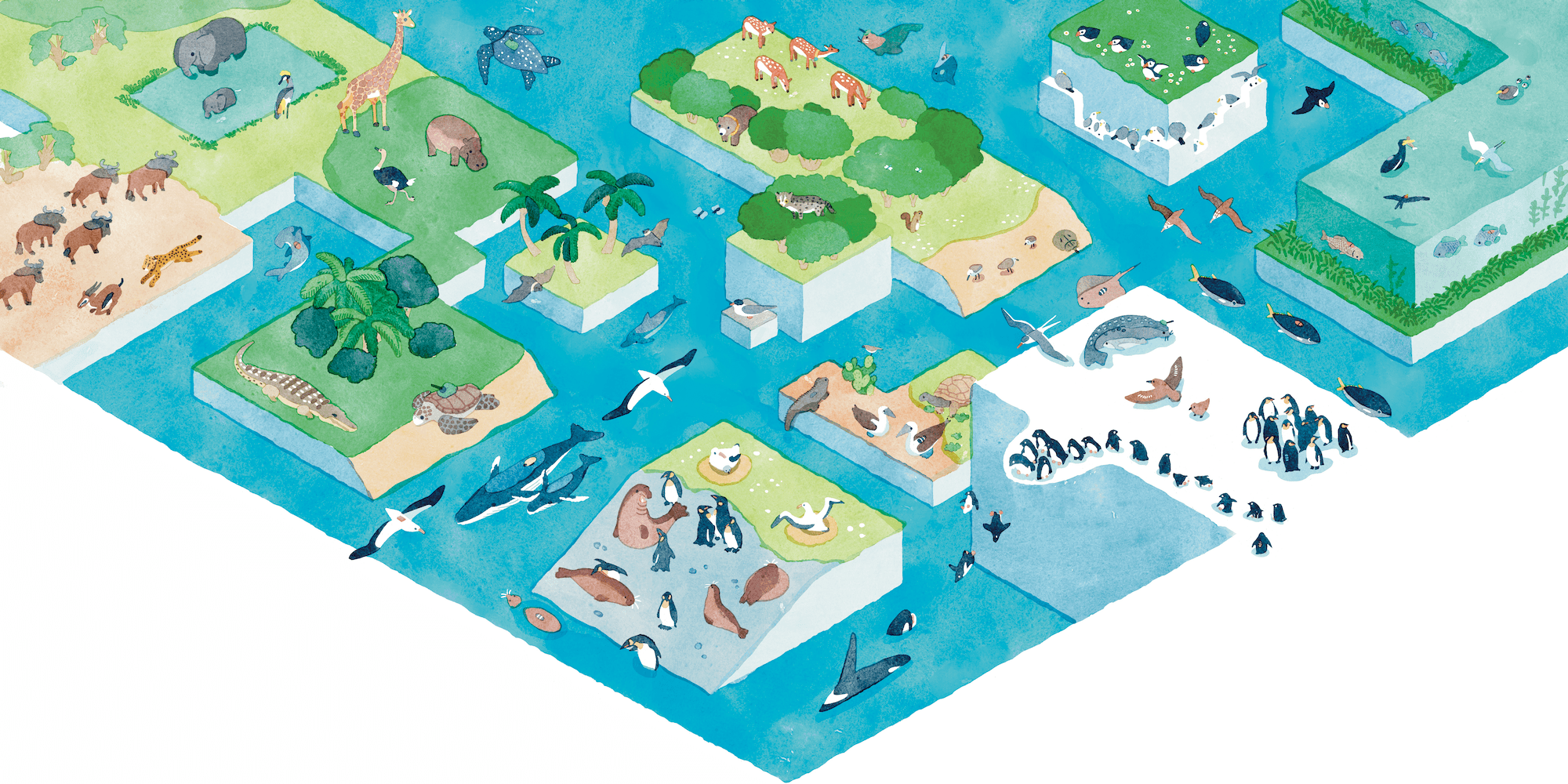
BiP is a web platform for backing up, analyzing, publishing, and discovering the valuable data obtained through biologging (ecological surveys using recording devices attached to animals). It standardizes and preserves data that could otherwise be scattered and lost, making it available for future research. It is free for anyone to use, not just researchers. We hope educational institutions will also find BiP useful as a teaching resource.
BiP (Biologging intelligent Platform) belongs to the category of services often referred to in biologging research as a biologging data analysis cloud, animal tracking data platform, or marine animal tracking platform. It supports the entire LoggLaw lineup (C / CAM / G), letting researchers manage data from data loggers, archival tags, and GPS collars in one place.
Key Features
Data Standardization & Backup
Save data in standardized formats with metadata. Prevent data loss and ensure reliable handoff to the next generation.
Online Analysis
Built-in analysis tools that calculate sea-surface wind, ocean current, and wave height from GPS data. Automated server-side processing with instant results.
Data Publication
Comply with journal data publication requirements. Upload and publish data for free.
Data Discovery
Search the database by species name or measurement parameters. Download published data for analysis.
Map Display
Display standardized data on maps. View individual movement trajectories and detailed data.
Live Data Viewer
LiveMap function displays real-time transmitted data on the map. Instantly check current animal positions.
Offline Analysis Tools
Browser-based Python analysis environment via JupyterLite. 15 analysis scripts available (GPS extraction, KML generation, dive analysis, etc.).
International Support
Available to researchers worldwide. Supports English and Japanese, ideal for international collaborative research data sharing.
Use Cases
Long-Term Data Preservation
Safely store data with metadata — data that could otherwise be lost due to hard drive failure or staff changes. Available for future research.
Publishing Research Data
Comply with journal data publication requirements. Upload and publish data for free on BiP.
Marine Environment Analysis
Calculate sea-surface wind, ocean current, and wave height from seabird and sea turtle GPS data. Contributing to meteorological and ocean research.
Secondary Use of Existing Data
Search and download published data for analysis. Leading to new discoveries.
Pricing
Free
Free for anyone to use. Core features including data upload, publication, and analysis are available. We encourage educational institutions to use BiP as a teaching resource.
Get StartedMake the Most of Your Data with BiP
Long-term preservation, analysis, and publication of biologging data — all with BiP. Supporting research efficiency and maximizing results.
This system was developed with funding from MEXT's 'Marine Resource Utilization Promotion Technology Development Program — Advanced Marine Biological Big Data Utilization Technology.'